Wednesday, April 21, 2021

Day 3: 4/20/21: Gooch Boat Ramp to ? (Literally)

 Between all the animal noises, distant trains, and a sore throat, I did not get much sleep last night.  

Got up at about 5:30 a.m. and ride to Union City, TN, and ate breakfast at Penny Hill Restaurant.  The restaurant was decorated in all things 50's and had several photos of Elvis and James Dean.  A sign above the door reads "Lost in the 50's."  I think I am.  Restaurant is complete with working jukebox.


When I went to pay for breakfast, the cashier told me that someone had already paid for my meal.

I tried to draft this guy into Kentucky, but he was going about 3 mph too fast.  It was too early in the day and I had too many more miles to go to try to push it and keep up with him.

Goodbye Tennessee, hello Kentucky.

This message was on a business in Hickman, KY.  What the heck!!!

And then there are those of us who remains a kid at heart.

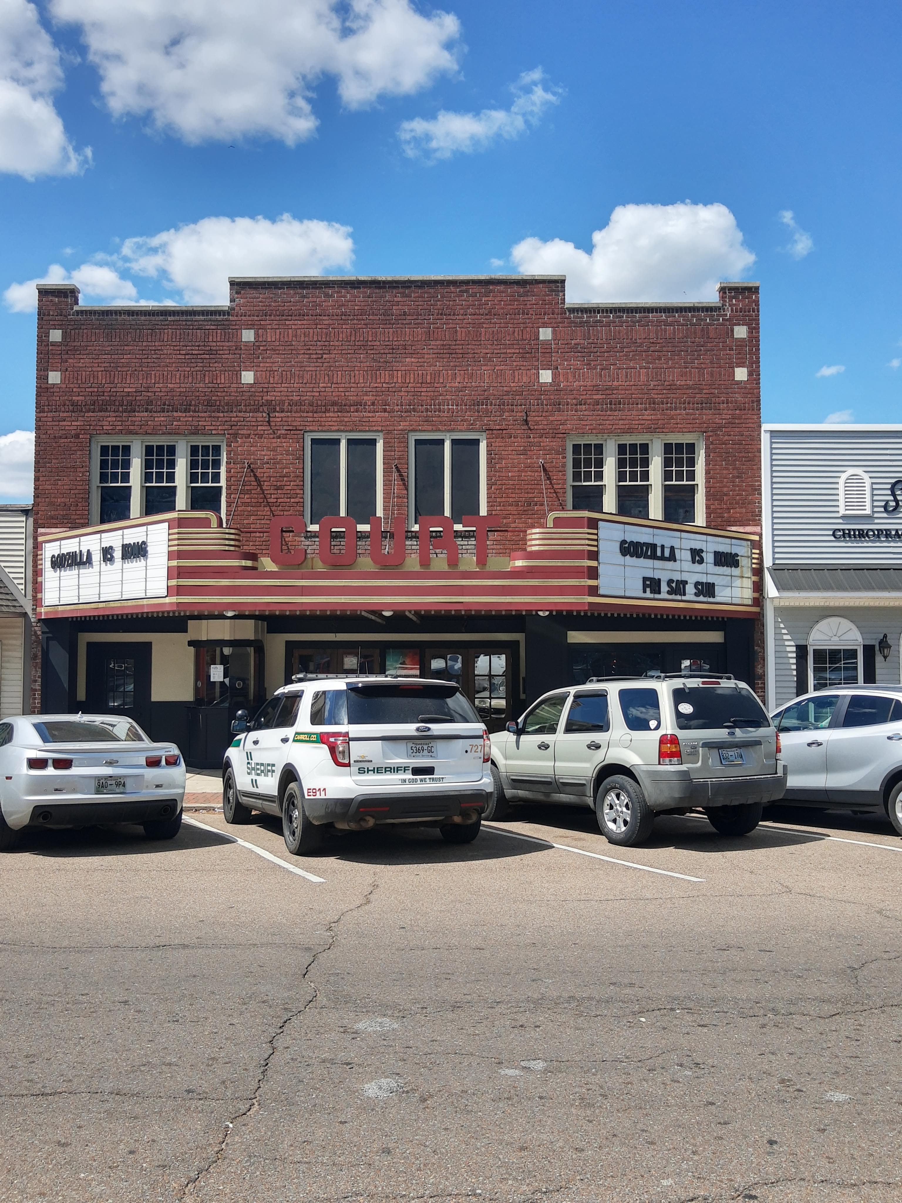
A few pics below of Hickman's downtown. It has really dried up.


Went across the Mississippi River on the Dorena-Hickman Ferry.  It was a lot more time consuming to cross the river by ferry, unless you have to deviate from your route several miles to get to a bridge.  It was much safer than crossing on some of the bridges.  Plus, for a bike it was only $2.  Where else can you go on a boat ride for that amount?


Me, the duck, and the bike chilling on the ferry and views from the ferry.


Goodbye Kentucky, hello Missouri.


Southern Missouri is nice for biking as far as the roads go, nice surface and no traffic, but this is all that's there.


It got exciting about 35 miles from my intended destination for the night.  The temperature started dropping quickly, and the wind picked up out of the north to about 20 mph.  At about 5:30 p.m., I decided that if I could maintain a 10-12 mph average, I was going to go the rest of the way to my intended campsite.  I rode west for several miles and was probably averaging about 9 mph.  It was getting even colder and the wind speed just kept increasing.  When I turned to head north, which would be my primary direction the rest of the day, I was struggling to maintain a 5 mph speed.  There was also an ominous black wall of clouds to the north.  I decided I needed to immediately find a place to pitch my tent, but all that was around was large cultivated fields.  I saw a grove of trees between 2 fields and decided that had to be the spot even though it was likely marshy or it would also be cultivated   

I found a spot just big enough to put my tent that was not in the ditch between the fields. Between me shivering from the cold and the tent fighting me at every turn due to the wind, I finally got it pitched.  I threw everything but the bike in the tent and it immediately began raining, with the wind continuing.  It took me quite a while to warm up in my sleeping bag.  I looked on weather radar and there was a band of green right on top of me with a band of blue connected to it on the north.  Me and everything made it through the night fine.  I stayed in my sleeping bag from about 6 p.m. to about 6 a.m., and got a good night's sleep.  Pic below of my campsite (taken the next morning after things had calmed down).


Total miles today: 72.3

Tuesday, April 20, 2021

Day 2: 4/19/21: Mousetail Landing State Park to Gooch Boat Ramp

 During my ride today, I passed by this old dog trot house.  I just wonder how many children were raised in that small home.  It was definitely a different world back then than today.

Old barn across the street from the house.

Had a peaceful night's sleep last night.  The campground was almost empty.  Woke up this morning to a thick fog which made for interesting biking.  You have to be super vigilant of approaching cars in heavy fog.  Below is a pic of the Tennessee River near Mousetail Landing.  I promise the river is down there somewhere.


The terrain between the park and Parsons, TN, is very hilly, with some fairly long ups an downs.  As I was about midway up one climb, I heard what sounded like a train horn, but there were no train tracks around me.  I then realized it was a dump truck loaded with gravel coming down the hill behind me.  I took the horn blowing as a message to me that he was picking up speed coming down the hill to have enough "oompf" to make it up the hill I was on, and that we would both be cresting the top of the hill at about the same time with no way of knowing if a vehicle would be coming in the other direction.  There was no shoulder on the road, but was about  a 2 foot space between the road and a guardrail.  I heeded his warning and pulled over and hugged the guardrail as he passed.  This would have been my action even if he had not blown his horn, but the warning was appreciated.

Made it to Parsons, TN, and refueled and recharged everything at Hardee's while finishing yesterday's blog post.

I found myself on gravel roads again today.  I am starting to appreciate gravel riding as long as the surface is smooth, which these were.


Another perk of biking back roads is the constant fan base along the way.  It is common to have these cheering you on along the way.

I spent several miles riding in the Natchez Trace State Forest, which was as nice or nicer than riding on the parkway.  It was great being able to listen to the birds singing during this segment.  I believe maybe 2 vehicles passed during about a 7 mile section.


Went through the towns of Parsons, Clarksburg, Huntingdon, McKenzie, and Dresden.  I walked into a grocery store in Dresden wearing a mask, and several people in the store gave me a strange look.  Not a single person inside the store had a mask in.  I caved to peer pressure and took mine off.  It seems no one in this area wears a mask even though there are signs indicating they are required.  However, none of the McDonald's I've been to has their dining room open.

Few pics of downtown Huntingdon.


Shadow selfie pic below.  By the time I took this pic, I was racing the sun trying to get to my campsite before dark (barely made it).


Gooch Boat Ramp is on the backwaters of the Onion River near Rives, TN, and was my campsite last night (pics below).


Total miles today: 97.8

Monday, April 19, 2021

Day 1: 4/18/21; Home to Mousetail Landing State Park, TN

 With both my daughters and my son-in-law now all living in Kansas, would there be a better reason to ride my bicycle to Kansas?  I think not.  So a couple of weeks ago, I began organizing a route and making plans to bike to Kansas to see them. Lisa will drive to Kansás with her dad and will meet me there in about a week and a half.

Lisa and I said our goodbyes, and I pulled out at about 6 a.m. because I was planning a high mileage day today.  


Below are pics from today's sunrise, the Elk River, and some nice North Alabama country scenery.


I entered into Tennessee and was primarily on quiet country roads with some calming views.  My route took me over/beside several small creeks/branches.


But you know you've really chosen a good bike route when the road goes through the creek.


Right where the road crossed the 2 creeks pictured above was this neat country church.


There was even an old rickety bridge (pic below) right beside the church that crossed the creek pictured above that ran across the road.  I don't think it has been used in awhile, but I wonder how much it was used years ago.


From the homemade sign below, it is obvious that part of my route today was on the Trans America Trail (TAT).  The TAT is a 5000 mile back roads, primarily unpaved, motorcycle route across the U.S.  


My route took me near Lawrenceburg, TN, and the former Crockett Mill.


I rode about 5 miles on the Natchez Trace Parkway, and exited the parkway at the Meriwether Lewis monument (pics below).


The only towns I actually bike's through today we're Minor Hill, TN, Hoenwald, TN, and Linden, TN.  Below are some pics from around Linden.


I made it to Mousetail Landing State Park, my home for the night.  


The pic below accurately depicts the last about 3 tenths of a mile to my campsite.


Total miles today:  107.4