It started raining about 3 a.m., and continued raining sporadically until about 9:30 a.m. I did some riding in a light rain from Cut Bank to Shelby. After that, it was a perfect day for riding.
Yesterday, I left the land of loonies (Canadian $1 coins), toonies (Canadian $2 coins), and klicks (Canadians term for kilometers). I was riding in Canada for several days, and got use to converting kilometers to miles. Towns that were 50 kilometers were actually on about 30 miles apart. Pretty sweet deal. I'll take 50 for 30 any day.
Today I passed a distance sign outside of Cut Bank that read "Shelby 24." In my head, I start converting that to miles, forgetting I'm back in the U.S. For a split second, I thought to myself, "Okay, that's only about 15 miles away."
The towns today we're a little closer together today than they were yesterday. The first town I went through after Cut Bank was Shelby. Below is a pic of their Veterans Memorial.
I then went through Conrad, which was about 25 miles from Shelby. The pic below is some interesting street decoration in Conrad.
Next was Brady, about 14 miles from Conrad. Below are some pics of it's main street.
About 16 miles after Brady was Dutton (pics below).
I entertained the thought of trying to make it to Great Falls, but it was another 32 miles from Dutton. I was getting tired, so I decided to stop for the night in Dutton. I'm camping in one of the town's 2 parks (pic below).
Below are a few pics of "Big Sky Country" from today's ride.
Some of my ride has been on the Lewis and Clark Trail, and here's my pic to prove it. I feel like such an explorer :)
Total miles today: 80.1
Wednesday, July 3, 2019
Day 43: 7/2/19: Pincher Creek, AB to Cut Bank, MT
Yesterday, while I was letting my tent dry and air out, I did not have it staked down. A big gust of wind came and blew it into the grate of the fire pit. It cut a slit in the bottom of the tent, so out comes the duct tape for the 2nd time this trip. (Pic below)
I decided last night that I was going to make a run for the border today. I knew it was going to be a long day because it was about 80 miles to the port of entry I was going to use, and about another 40 miles to the next town with services. Also, the port closes at 6 p.m, so I wanted to make sure I was there before then.
I woke up about 4 a.m., and began cycling about 6 a.m. after grabbing a quick bite at Tim Hortons. Up until about the last 9 miles, the wind was not a factor. It was not in my favor, but it was just a gentle breeze. About the last 9 miles it picked up a lot, and made me work for those miles.
It was about 50 miles from Pincher Creek to the next town on the route, Cardston. I got behind this horse and cart (pic below) on Main Street in Cardston.
I got to my campsite, Riverview RV Park in Cut Bank, a little before 7 p.m. I had a lot of saddle time today.
Total miles today: 129.8
Monday, July 1, 2019
Day 42: 7/1/19: Elkford, BC to Pincher Creek, AB
Happy Canada Day, Canada's day of Independence. Hopefully, this year I will get to celebrate Canada Day in Canada AND Independence Day in the U.S. How cool is that?
Woke up this morning to about a 41 degree temperature. It was quite chilly. Bid farewell to Eric and Sigita. Eric will continue south, but will remain on the Adventure Cycling route. Sigita will head North on gravel roads to Banff.
Pic of sunrise hitting mountain tops in Elkford below.
I decided to take the blacktop today instead of the Adventure Cycling route that I intended to take to Sparwood. The ride yesterday filled my need for riding downhill on rutted, partially loose gravel roads with 700x32 (not wide) tires. It was nice today riding on smooth roads, even with the increased vehicular traffic. I even had the benefit of a strong wind out of the west as I was heading east.
I've seen old tires being used for an assortment of things, but I think this is the first time I have seen them used as No Trespassing signs (pic below).
This part of Canada is definitely coal mining territory. Below are a couple of pics of coal mining machinery that are on display in Sparwood.
Joy Loader
Shuttle Cart ( can move 10 tons of coal)
Some scenery pics from today's ride.
I went across Crowsnest Pass and entered back into Alberta (pics below).
Near Crowsnest Pass, I went through the community of Frank, which had a massive rockslide in 1903. Below are pics of information regarding the rock slide and of rocks that remain from the slide. To me, the area had kind of a Pompeii feel to it.
The terrain changed a lot today. I started my days in the mountains as pictured above. The mountains got smaller and grew into hills (pic below).
By the end of the day, I was back in the prairie.
I ended my day at Veteran's Memorial Campground at Pincher Creek, AB. The campground host told me the story about how the town got it's name. One of the first settlers of the area had a couple of fence pinchers, but lost them in the local creek. Settlers that arrived later somehow found those pinchers in the creek, and named the creek Pincher Creek, which also became the town's name. Pic of town's welcome sign below. Notice the pinchers on each side of the sign.
I have been craving a root beer for a few days now. Pincher Creek has an A&W, so I stopped in for supper, a burger, fries and root beer.
Below is a pic of my campsite, Pincher Creek, and a special visitor to the campground. I hope it doesn't steal my food.
Miles for today: 77.8
Day 41: 6/30/19: Elkwood Campground, AB to Elkford, British Columbia (BC)
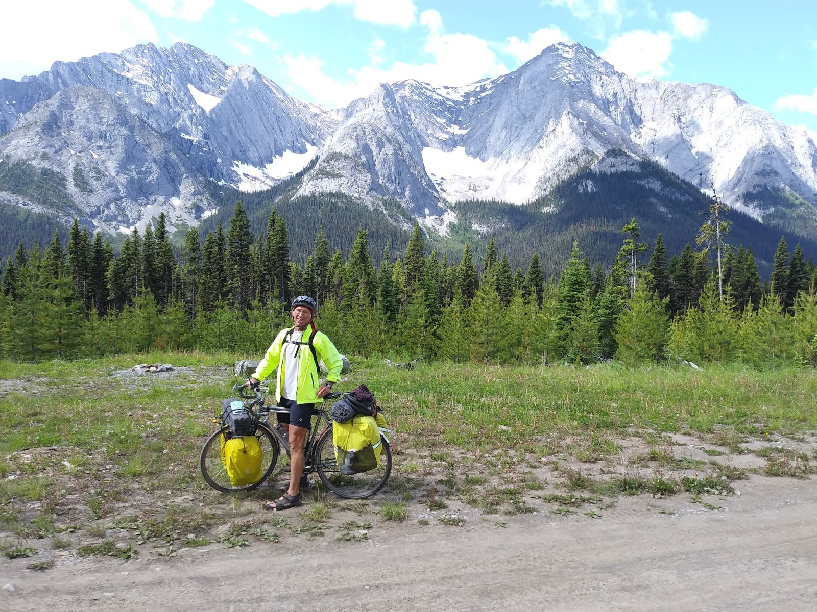
Today, Eric and I rode much of the day together. We were on roads that were much rockier and rougher than the roads we were on yesterday, but the scenery was still beautiful (pics below).
There were a couple of steep sections that we had to get off and push our bikes up.
We made it over Elk Pass and entered British Columbia.
Below are some pics of a cool cabin that cyclists can use on a first come first serve basis. It was too early in the day for us to stay there when we arrived.
When we arrived at the Elkford Municipal Campground, we met Sigita (pic below) who was also looking for a campsite. We decided we would all 3 split a campsite. Sigita is from Lithuania and is biking across Canada from Vancouver to the St. John's Islands.
Pic of our campsite below.
We met a couple of other cyclists at the campground later in the afternoon. Dion and Kia (pic below with Eric and Sigita) are riding from Banff to the Colorado/New Mexico border. He is from Humboldt County, CA, and she is from Washington State.
Total miles today: 54.8
There were a couple of steep sections that we had to get off and push our bikes up.
We made it over Elk Pass and entered British Columbia.
Below are some pics of a cool cabin that cyclists can use on a first come first serve basis. It was too early in the day for us to stay there when we arrived.
When we arrived at the Elkford Municipal Campground, we met Sigita (pic below) who was also looking for a campsite. We decided we would all 3 split a campsite. Sigita is from Lithuania and is biking across Canada from Vancouver to the St. John's Islands.
Pic of our campsite below.
We met a couple of other cyclists at the campground later in the afternoon. Dion and Kia (pic below with Eric and Sigita) are riding from Banff to the Colorado/New Mexico border. He is from Humboldt County, CA, and she is from Washington State.
Elkford is a coal mining town. I saw a parking area with a bunch of cars with no one around. Then I saw that's where the big busses come pick up the workers and take them to the coal mines.
Total miles today: 54.8
Subscribe to:
Posts (Atom)